What Is Remedial Design Characterization (RDC)?
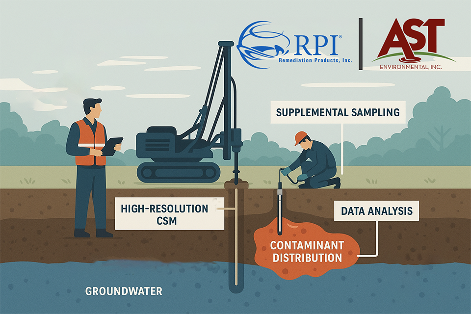
RDC is AST’s data-driven method for understanding contaminant distribution and hydrogeologic conditions prior to full-scale remediation. Rather than relying on outdated or oversimplified datasets, RDC integrates:
- New high-resolution soil and groundwater sampling
- Vertical profiling to capture concentration gradients
- Geologic and hydrogeologic mapping
- Site-specific analytical support via the RPI Project Support Laboratory
These inputs are used to build a quantitative, high-resolution Conceptual Site Model that drives remedial planning and amendment emplacement with surgical precision.
Why Traditional CSMs Fail
One of the most common causes of failed remediation is a generalized or inaccurate CSM, often based on:
- Composite groundwater samples from across the entire saturated zone
- Sparse or outdated soil data
- Lack of vertical resolution or geologic context
This low-resolution approach masks the actual distribution and mobility of contaminants, resulting in inefficient or misplaced treatment efforts.
High-Resolution Data in Overburden and Bedrock
AST’s RDC strategy varies by geology:
In unconsolidated media (overburden):
- High-density sampling defines vertical and spatial contaminant gradients
- Variability in permeability and lithology is mapped
- Contaminant mass distribution is quantified to support effective dosing
In consolidated media (bedrock):
- Geophysical tools and discrete sampling methods interrogate fracture networks
- Transmissive features and matrix diffusion zones are mapped
- Amendments are placed surgically to intersect both transport and storage zones
RPI Project Support Laboratory: Data Without Limits
AST leverages the RPI Project Support Laboratory in Golden, CO to analyze samples from domestic and international projects—at no cost to the client. This eliminates common limitations associated with analytical budgets, enabling larger, denser datasets for better site resolution and smarter designs.